Log in
All resources
Create a design
41,226 Free Images of 1899 Maps
maps in the library of congress
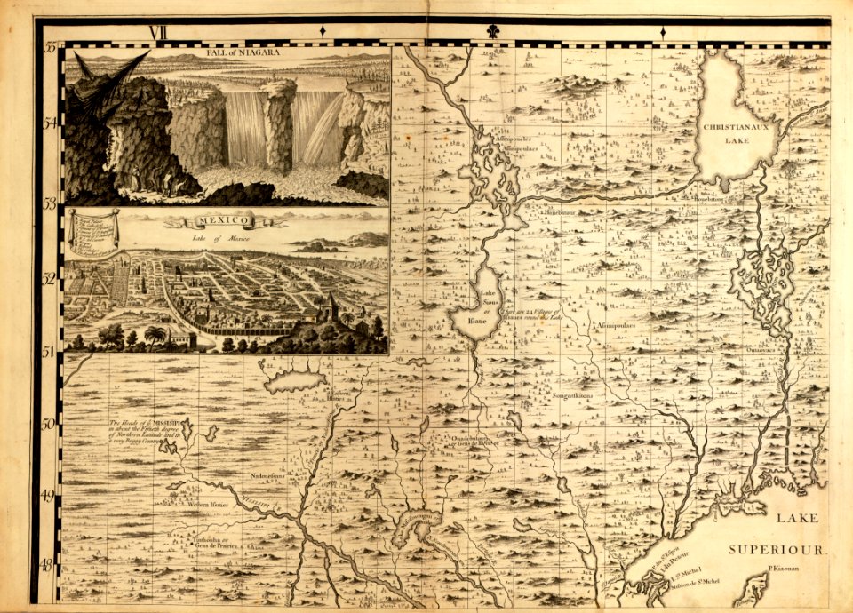
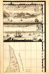
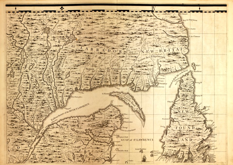
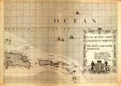
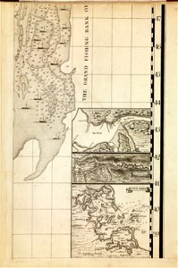
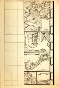
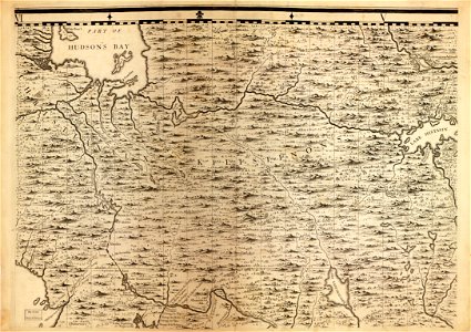
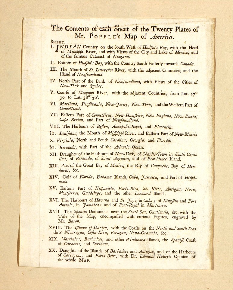
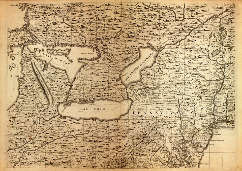
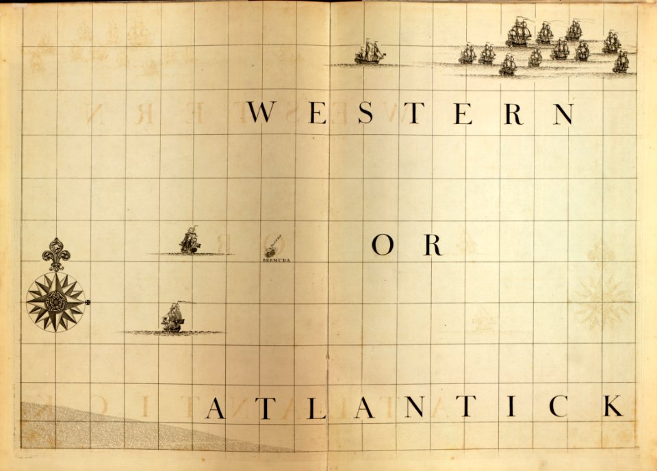
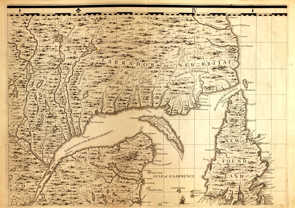
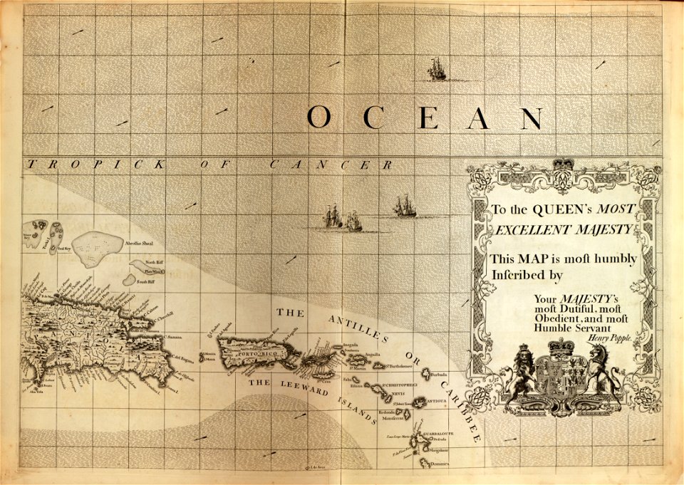
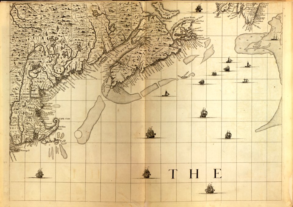
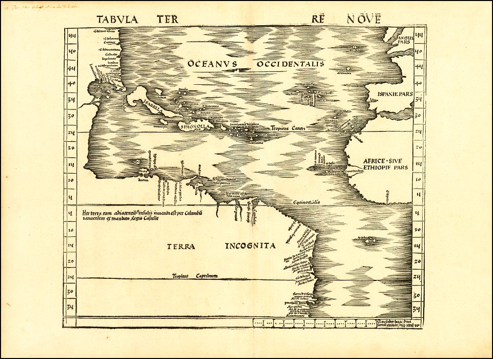
a map of the british empire in america with the french and spanish settlements adjacent thereto
1899 paintings
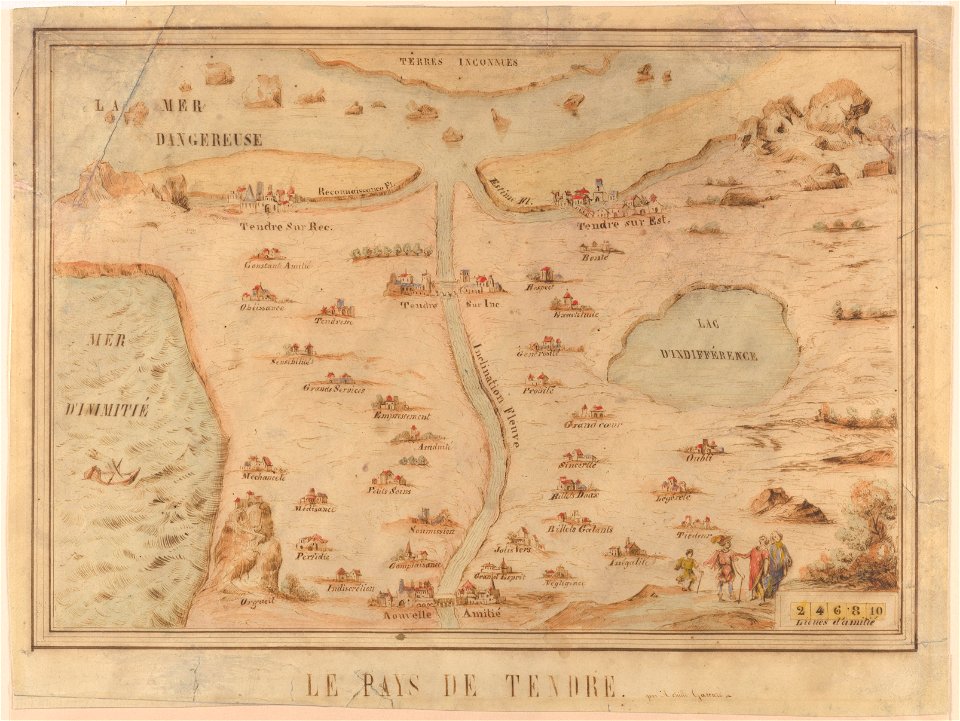
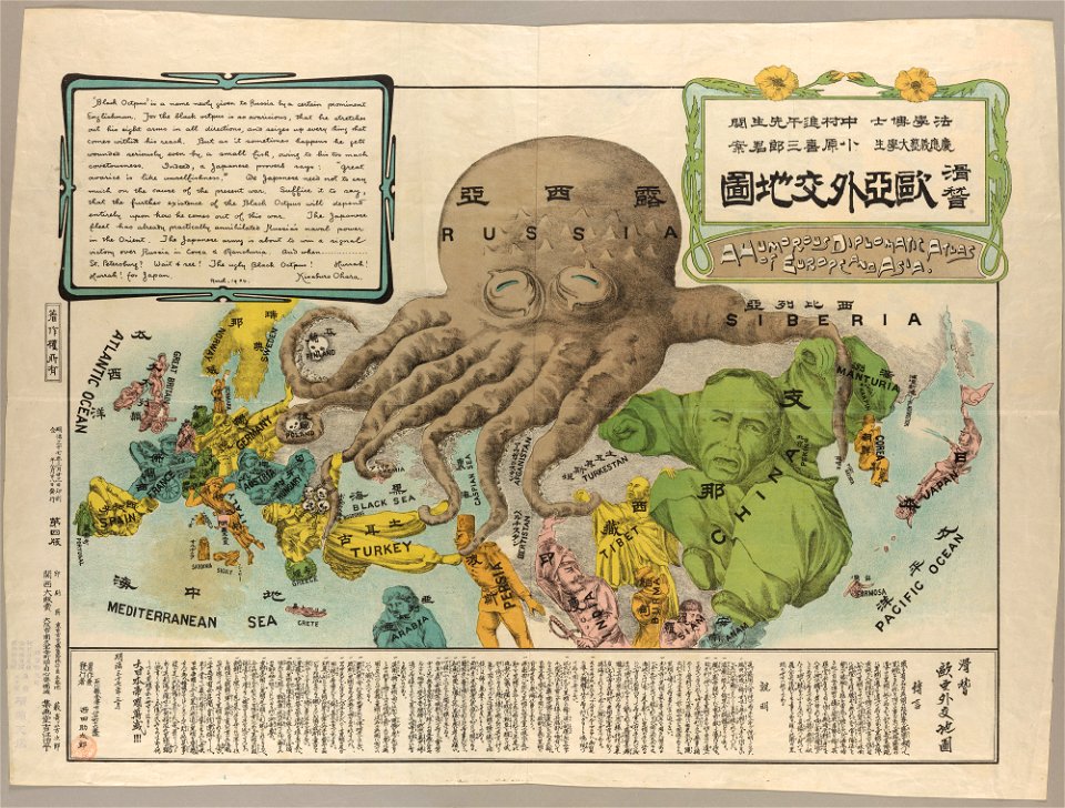
cornell: persuasive cartography: the pj mode collection
maps by sebastian münster
gerard valck
cornell university library
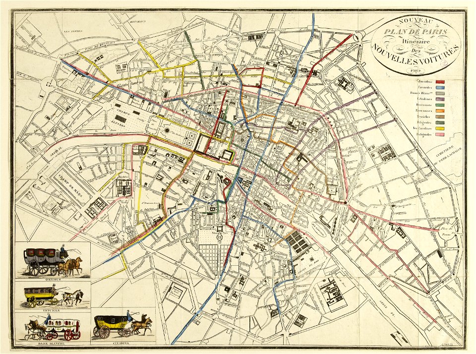
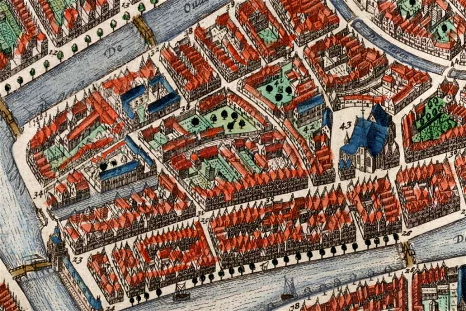
map of paris by claes jansz. visscher - derivate files
prints from bonne atlas de toutes les parties at the peace palace library
1890s landscape paintings
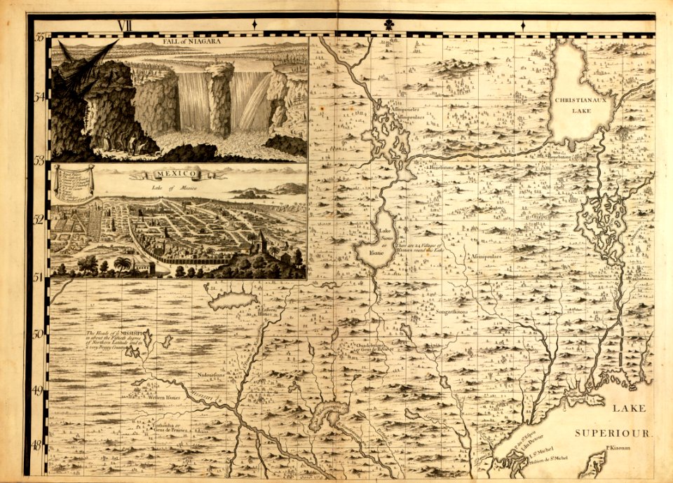
a map of the british empire in america with the french and spanish settlements adjacent thereto
maps in the library of congress
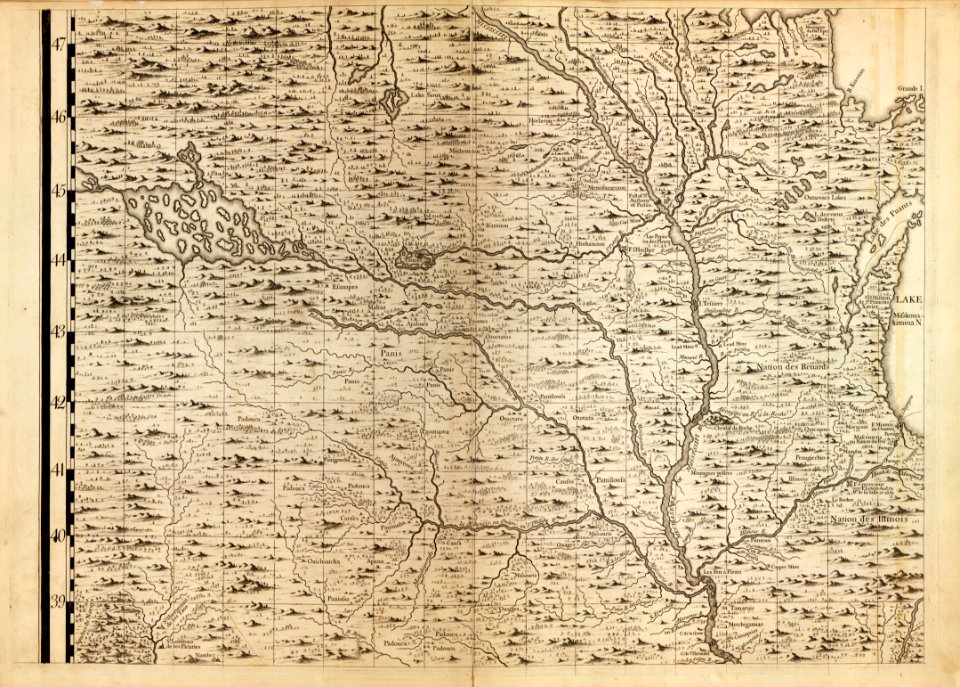
a map of the british empire in america with the french and spanish settlements adjacent thereto
maps in the library of congress
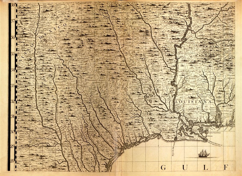
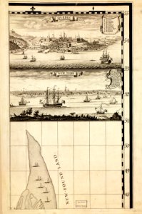
a map of the british empire in america with the french and spanish settlements adjacent thereto
maps in the library of congress
a map of the british empire in america with the french and spanish settlements adjacent thereto
maps in the library of congress
a map of the british empire in america with the french and spanish settlements adjacent thereto
maps in the library of congress
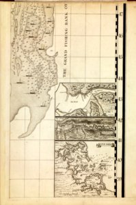
a map of the british empire in america with the french and spanish settlements adjacent thereto
maps in the library of congress
a map of the british empire in america with the french and spanish settlements adjacent thereto
maps in the library of congress
a map of the british empire in america with the french and spanish settlements adjacent thereto
maps in the library of congress
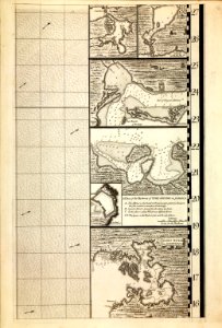
a map of the british empire in america with the french and spanish settlements adjacent thereto
maps in the library of congress
a map of the british empire in america with the french and spanish settlements adjacent thereto
maps in the library of congress
a map of the british empire in america with the french and spanish settlements adjacent thereto
maps in the library of congress
a map of the british empire in america with the french and spanish settlements adjacent thereto
maps in the library of congress
a map of the british empire in america with the french and spanish settlements adjacent thereto
maps in the library of congress
a map of the british empire in america with the french and spanish settlements adjacent thereto
maps in the library of congress
a map of the british empire in america with the french and spanish settlements adjacent thereto
maps in the library of congress
a map of the british empire in america with the french and spanish settlements adjacent thereto
maps in the library of congress
a map of the british empire in america with the french and spanish settlements adjacent thereto
maps in the library of congress
a map of the british empire in america with the french and spanish settlements adjacent thereto
maps in the library of congress
a map of the british empire in america with the french and spanish settlements adjacent thereto
maps in the library of congress
a map of the british empire in america with the french and spanish settlements adjacent thereto
maps in the library of congress
a map of the british empire in america with the french and spanish settlements adjacent thereto
maps in the library of congress
a map of the british empire in america with the french and spanish settlements adjacent thereto
maps in the library of congress
a map of the british empire in america with the french and spanish settlements adjacent thereto
maps in the library of congress
a map of the british empire in america with the french and spanish settlements adjacent thereto
maps in the library of congress
a map of the british empire in america with the french and spanish settlements adjacent thereto
maps in the library of congress
a map of the british empire in america with the french and spanish settlements adjacent thereto
maps in the library of congress
a map of the british empire in america with the french and spanish settlements adjacent thereto
maps in the library of congress
a map of the british empire in america with the french and spanish settlements adjacent thereto
maps in the library of congress
a map of the british empire in america with the french and spanish settlements adjacent thereto
maps in the library of congress
a map of the british empire in america with the french and spanish settlements adjacent thereto
maps in the library of congress
a map of the british empire in america with the french and spanish settlements adjacent thereto
maps in the library of congress
a map of the british empire in america with the french and spanish settlements adjacent thereto
maps in the library of congress
a map of the british empire in america with the french and spanish settlements adjacent thereto
maps in the library of congress
a map of the british empire in america with the french and spanish settlements adjacent thereto
maps in the library of congress
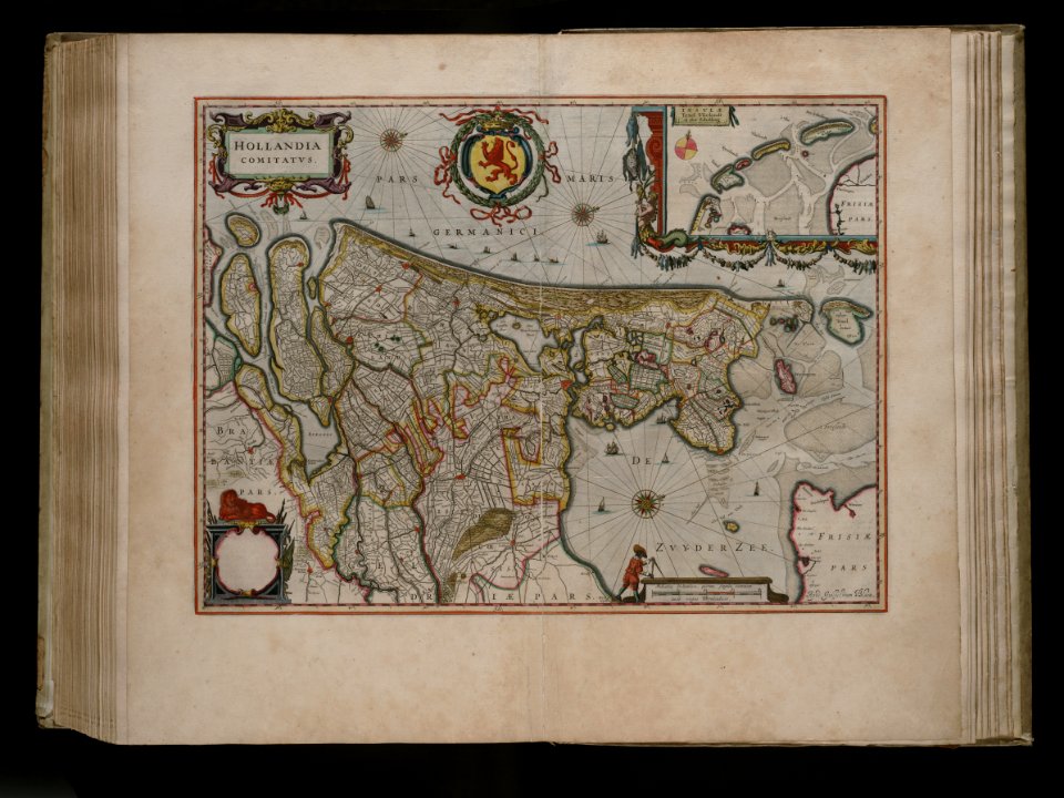
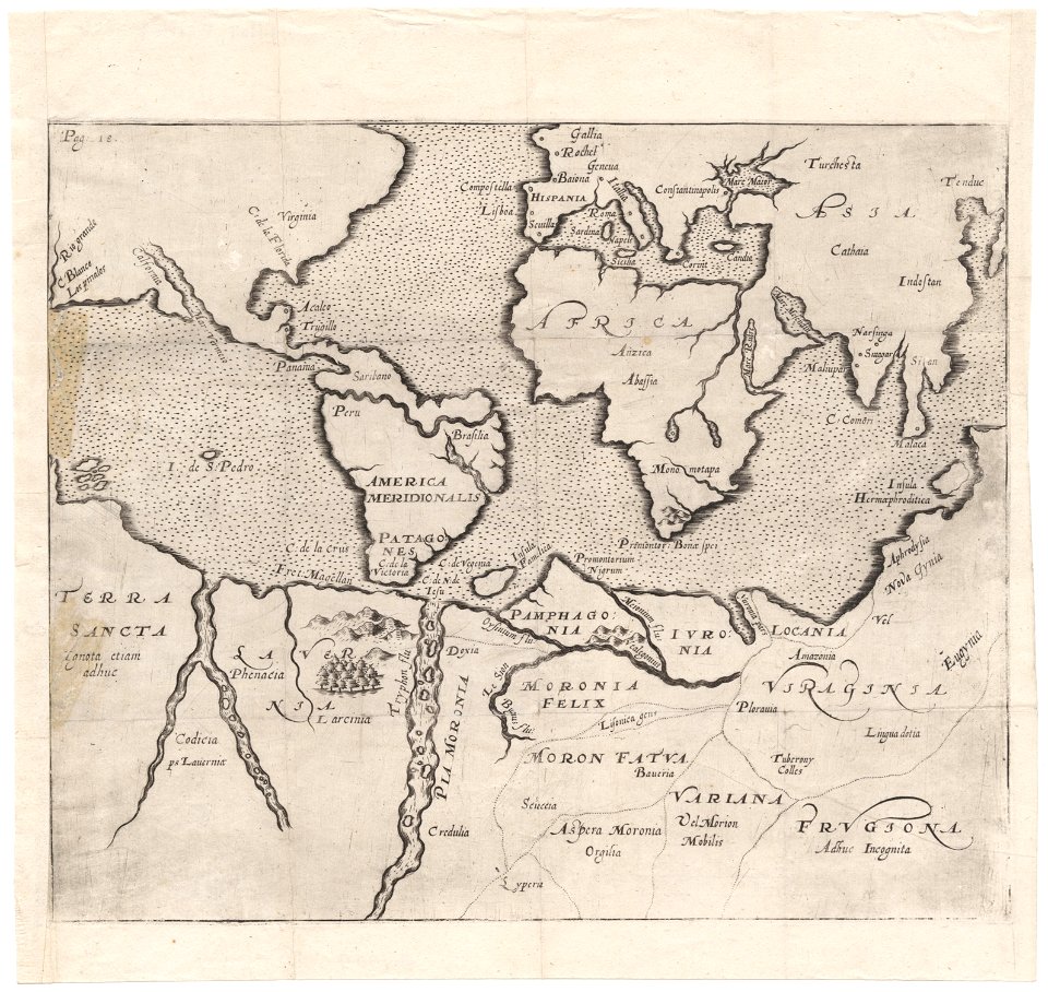
joan blaeu
old map
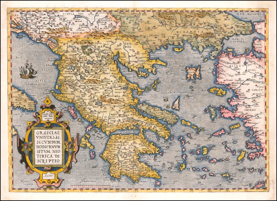
cornell: persuasive cartography: the pj mode collection
cornell university library
old maps of île de la cité
île de la cité in art
map of paris by claes jansz. visscher - derivate files
churches in paris on the maps
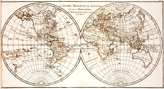
world map
project
theodor de bry
amazon
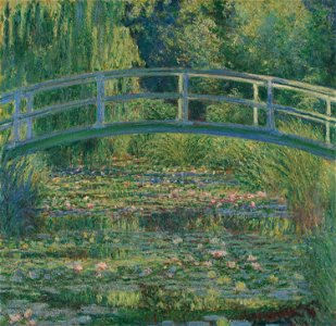
1890s paintings by claude monet
london
photographs in the national museum in warsaw
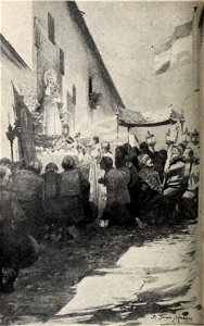
1899 portrait photographs of women
blanco y negro
1899
paintings in the art museum in łódź
portraits of women wearing hats
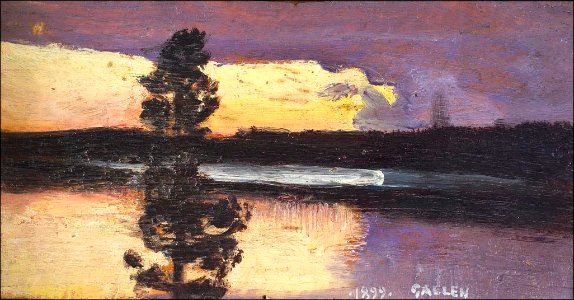
water reflections in art
paintings of lakes
rio das pedras
1899 paintings
paintings of women by childe hassam
childe hassam
sergey schukin's collection
polynesia by paul gauguin
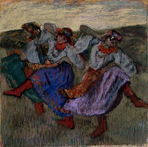
paintings of women dancing outdoors
houston
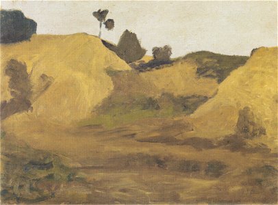
landscape paintings by paula modersohn-becker
1890s landscape paintings
caricatures by leslie ward in vanity fair
vanity fair caricatures (politicians)
1899 paintings
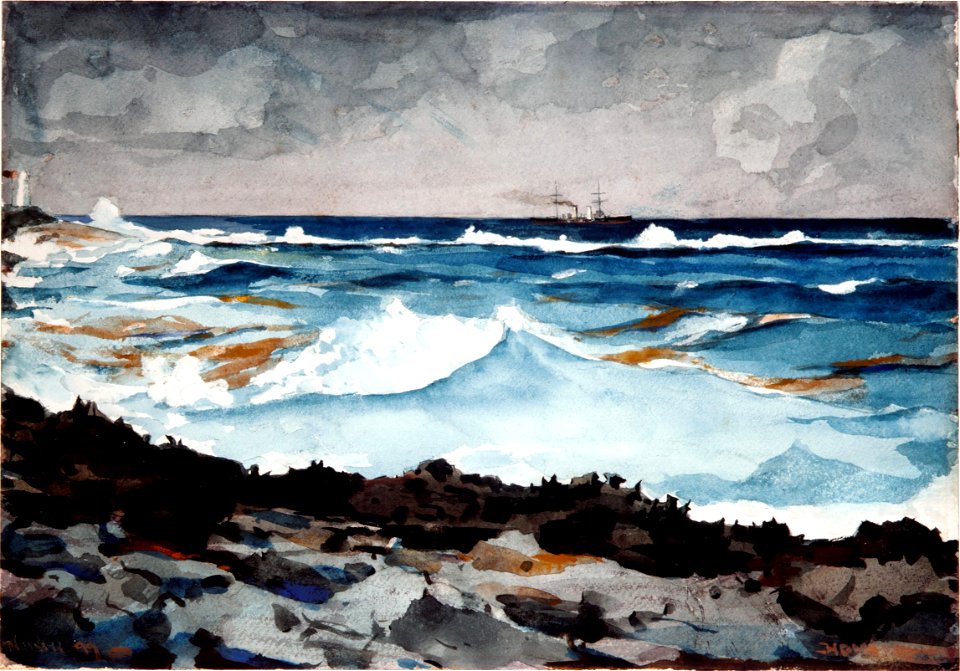
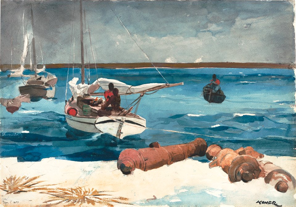
nassau
1899 paintings
nassau
beehives in art
radovljica
arnold's geographical handbook (1899)
maps of ocean currents
old maps of india
old maps of tibet
arnold's geographical handbook (1899)
1890s maps of central america
university of toronto wenceslas hollar digital collection
hollar maps and plans of london
images from the bulgarian archives state agency
maps by sebastian münster
maps of the dutch east india company - madagascar
1635
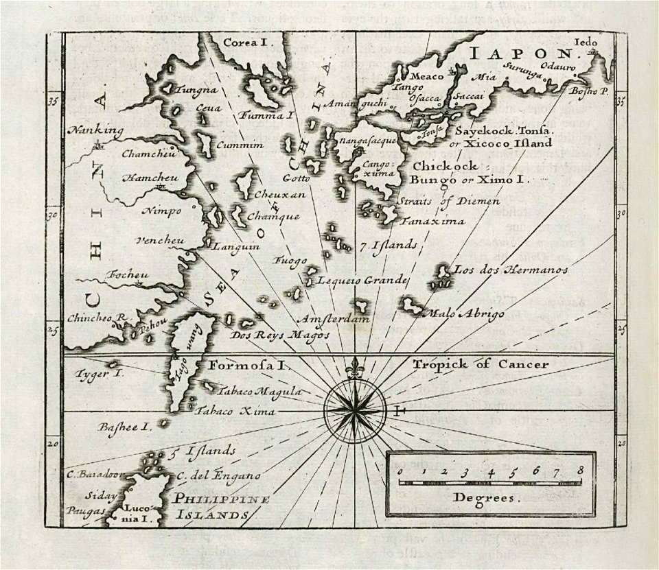
maps of the dutch east india company - japan
1732
maximilien de béthune
duc de sully
maps made in the 18th century
gerard valck
maps made in the 17th century
gerard valck
cornell university library
puritan
horse-drawn buses in paris
historical buses in paris
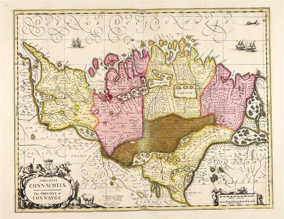
old maps of ireland
gerard valck
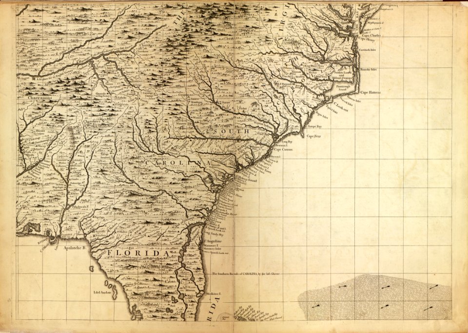
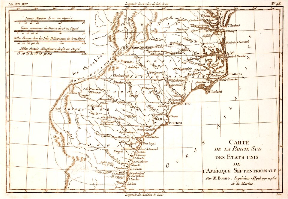
18th-century maps of north carolina
1780 maps
coats of arms of breda
netherlands
maps in utrecht university library
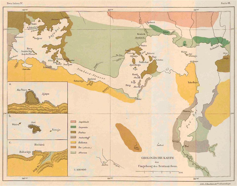
lake sentani
maps of sweden
strängnäs
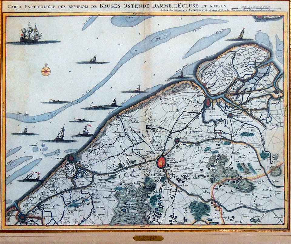
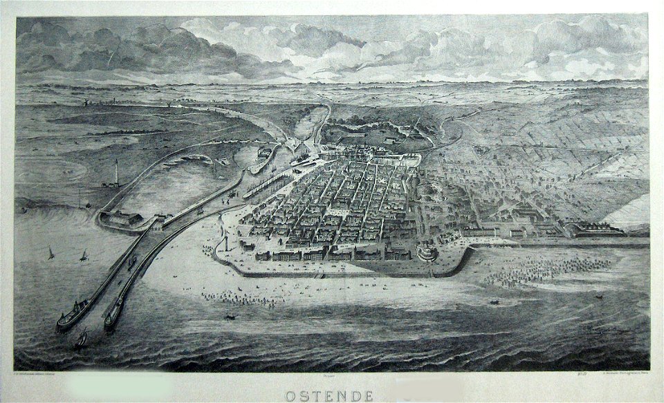
old maps of ostend
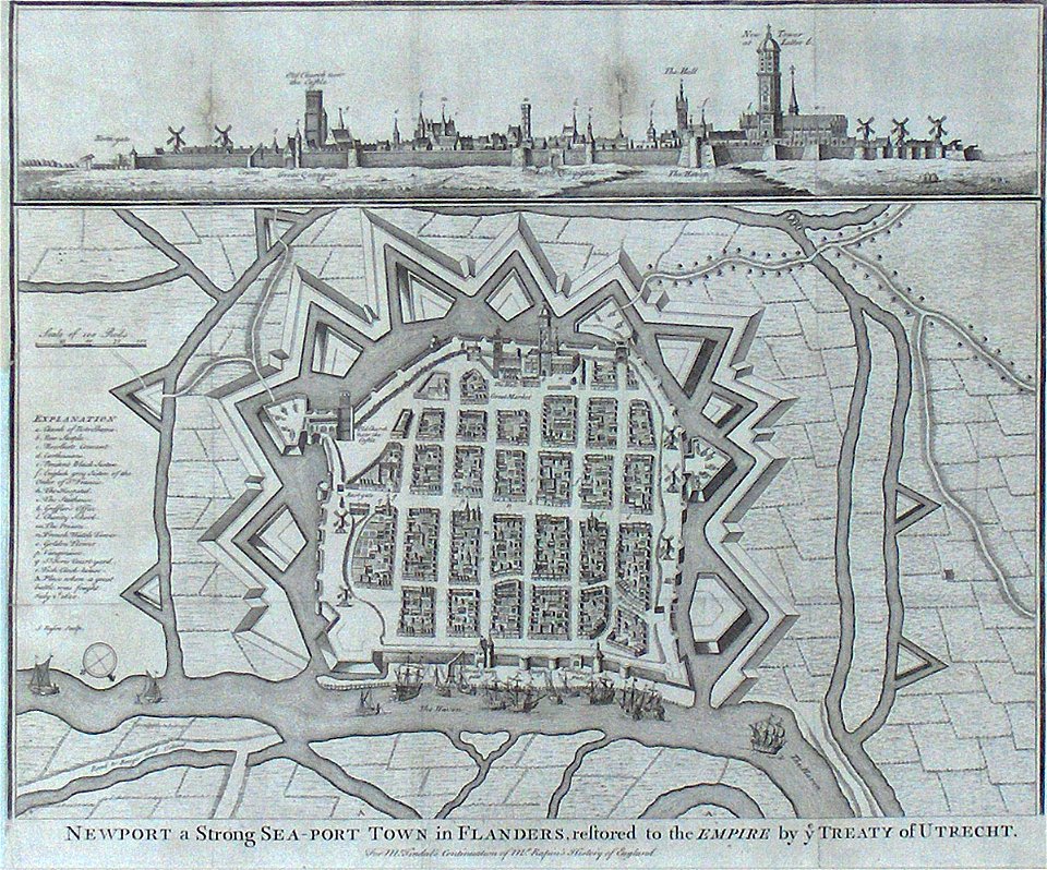
old maps of nieuwpoort
lepsius-projekt - maps
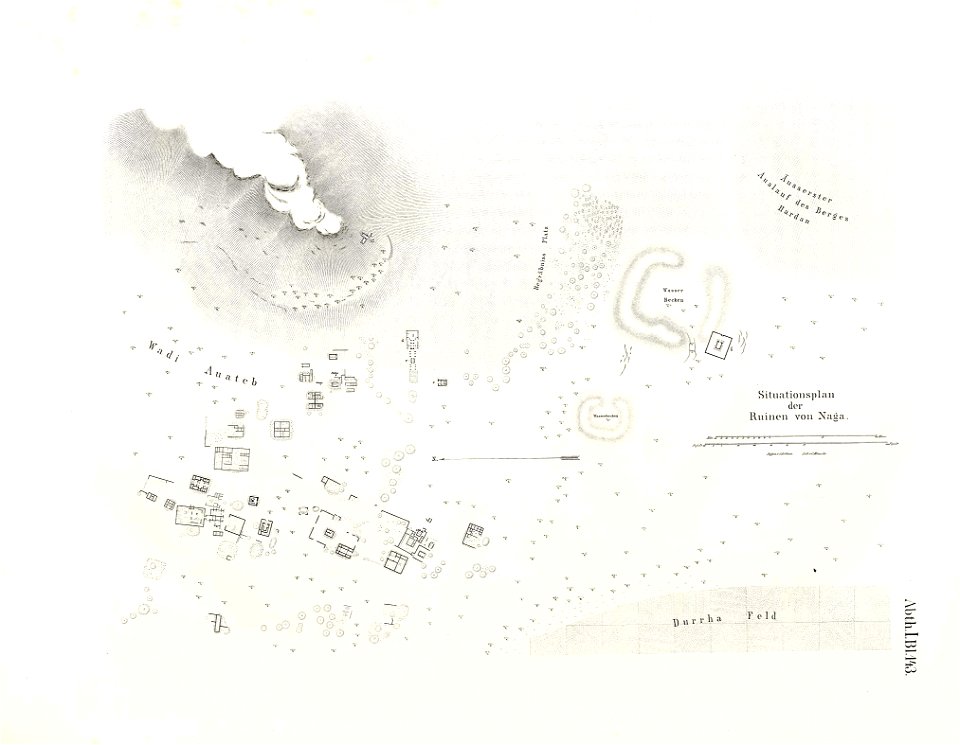
naqa
lepsius-projekt - maps
dimai
old maps of ostend
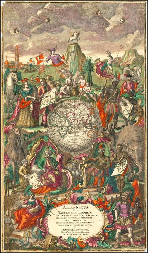
maps by matthäus seutter
maps by martin waldseemüller
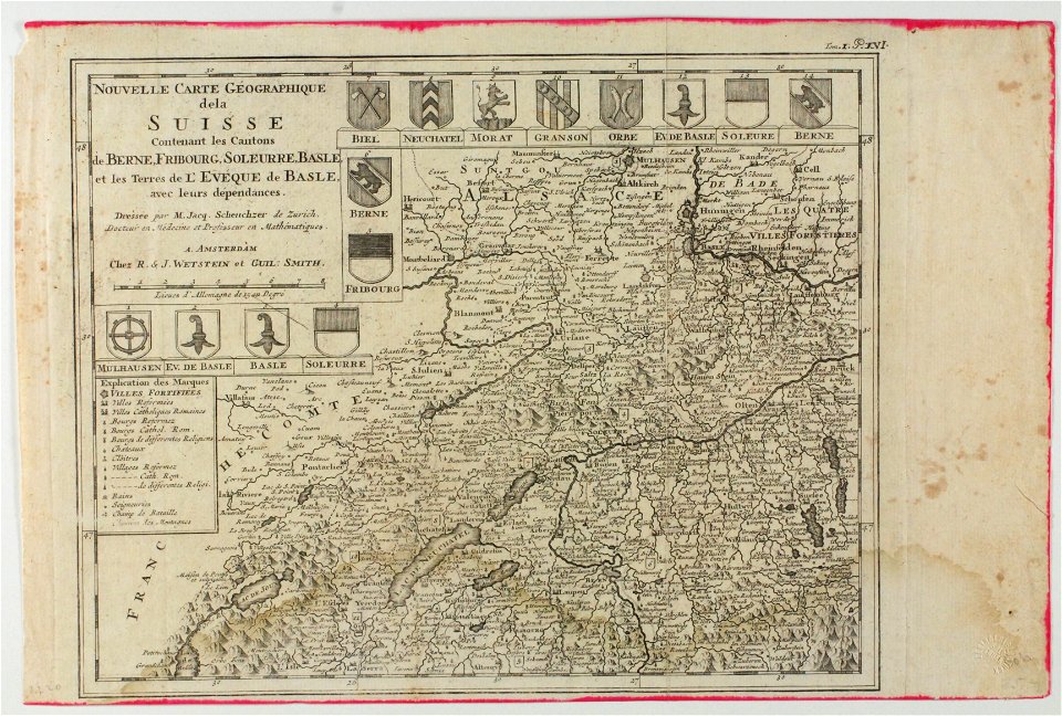
old maps of switzerland
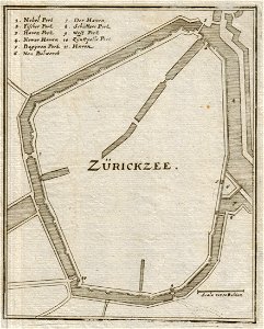
old maps of zierikzee
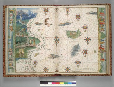
vallard atlas
1547 maps
maps by sebastian münster
maps by jodocus hondius
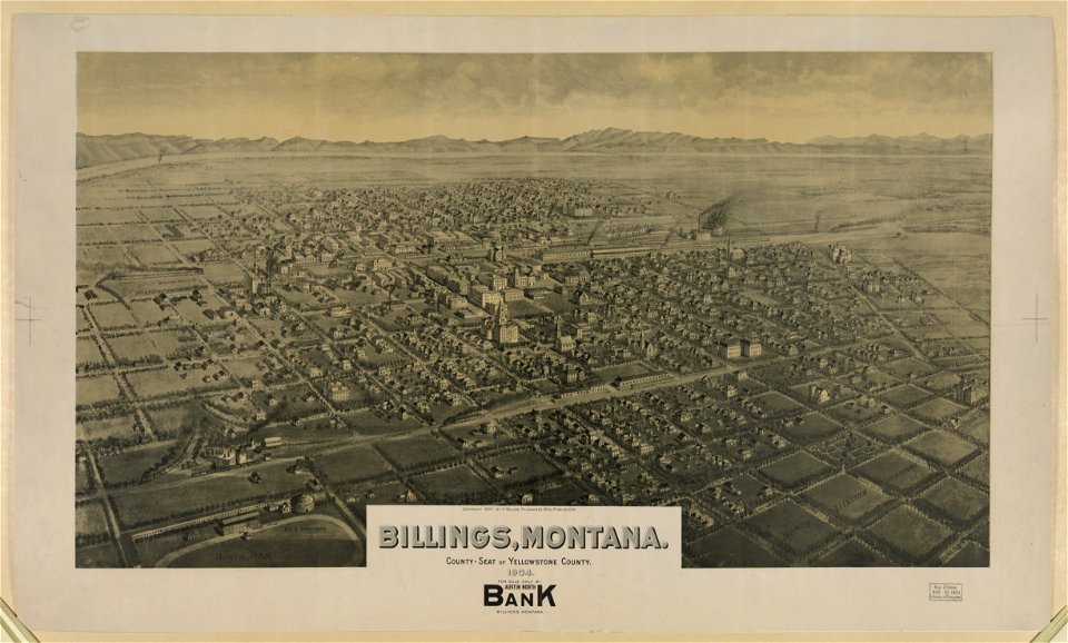
maps of billings
montana
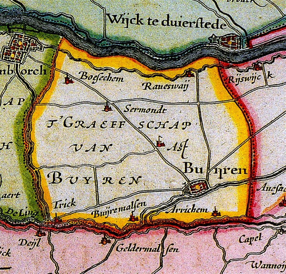
maps of buren
gelderland
maps by matthäus seutter
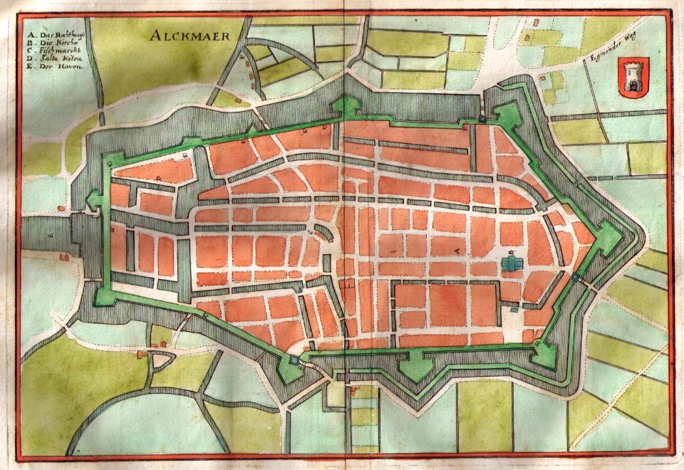
old maps of alkmaar
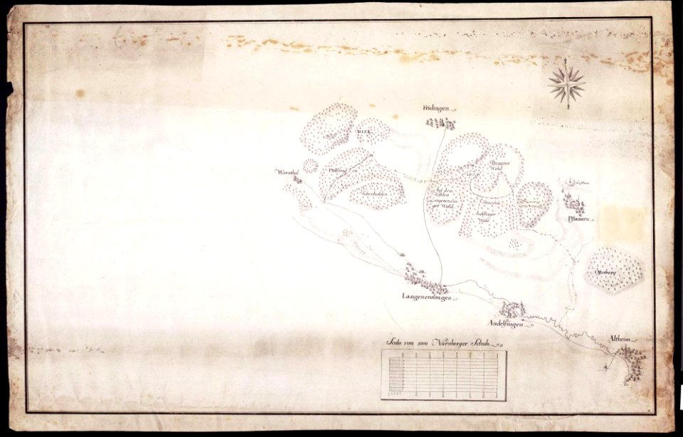
maps of württemberg
langenenslingen
maps of württemberg
langenenslingen
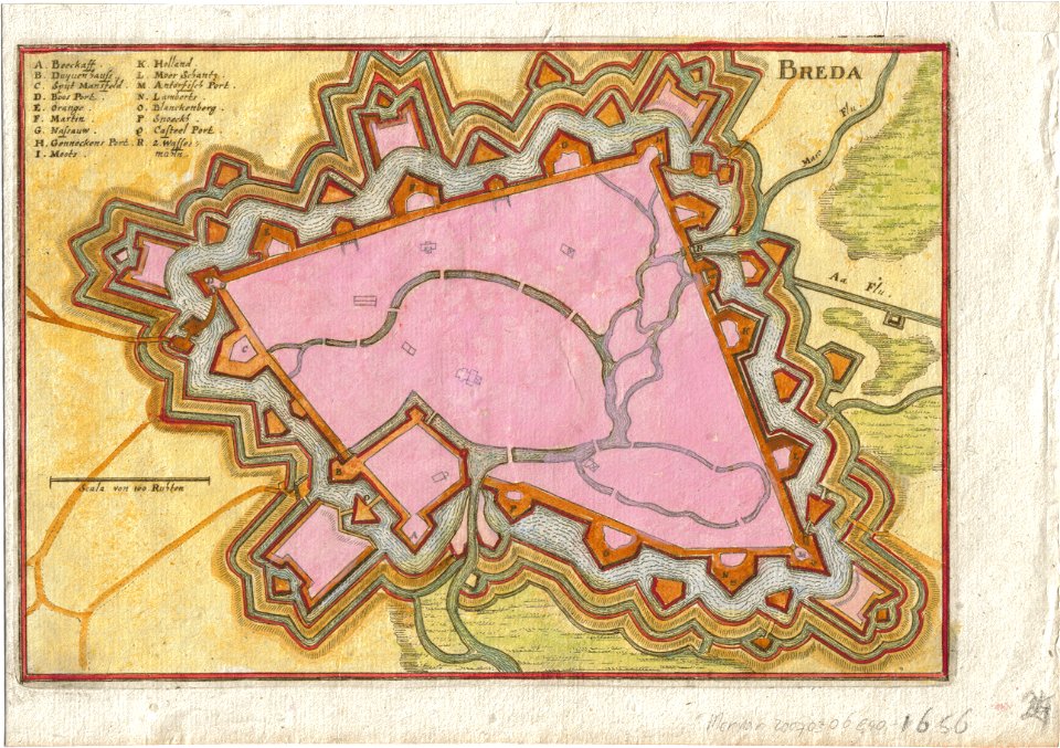
old maps of breda
old maps of anjouan
matthäus merian
1636 maps
maps by sebastian münster
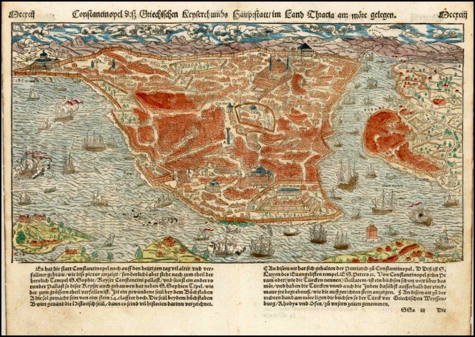
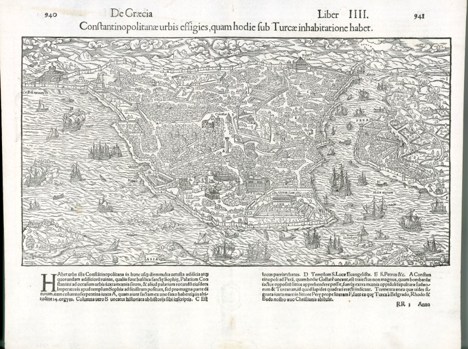
old maps of istanbul
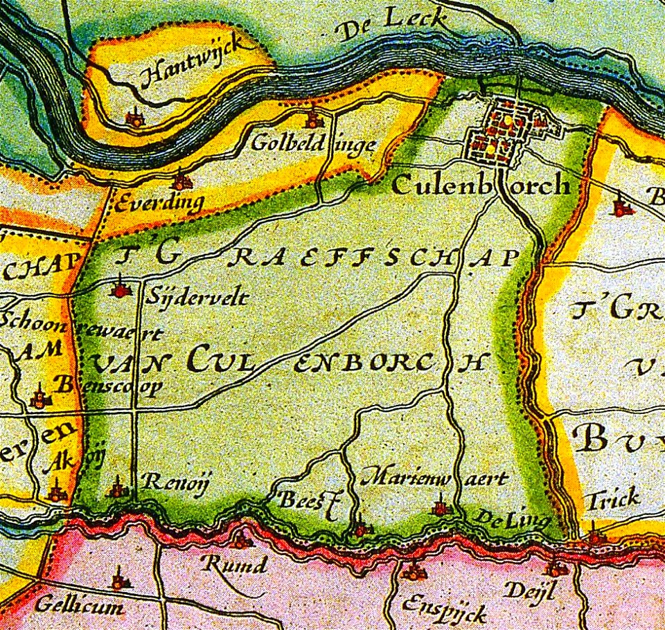
old maps of culemborg
maps by abraham ortelius
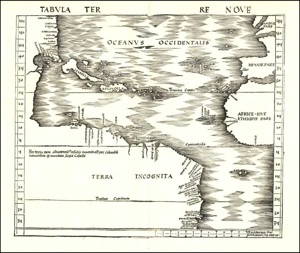
maps by martin waldseemüller
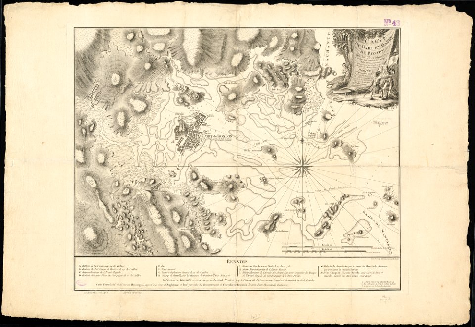
1776 maps of boston
old maps of leiden
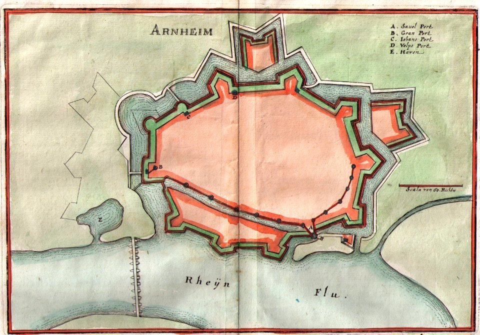
old maps of arnhem
6701 - 6800 of 41,226
Next page
/ 413